Project Introduction
Many companies today are working on autonomous driving technology. Several players like BMW, Mercedes-Benz, and Tesla have some promising results. But with so many people working on it, why don’t our cars fully drive themselves yet? One of the reasons is that there are many technical challenges to overcome.
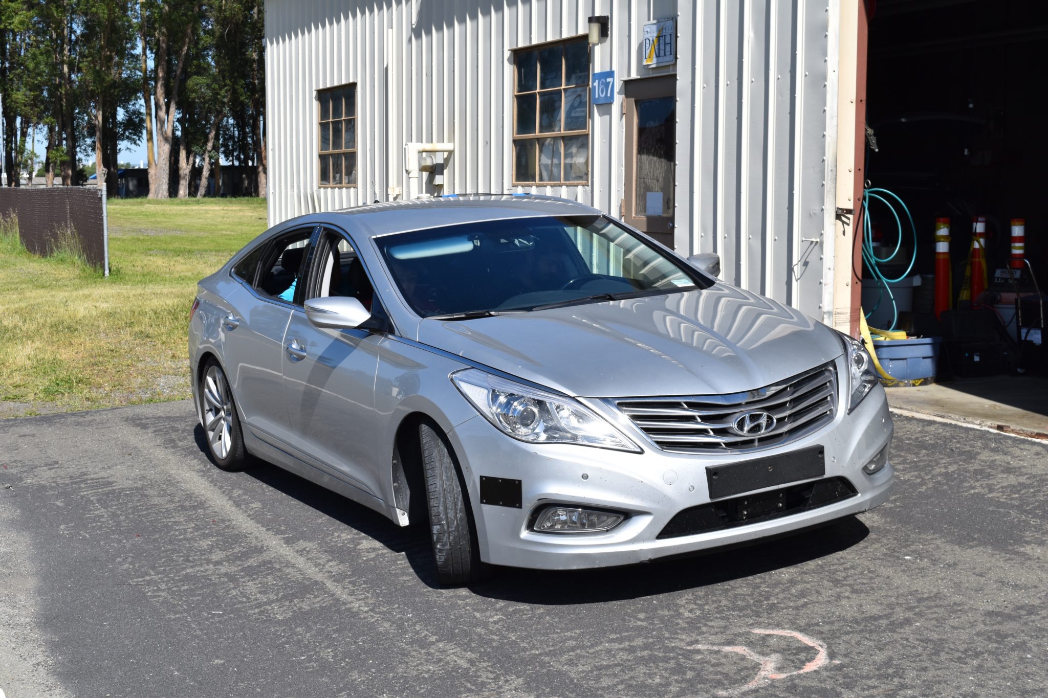
The challenge that our team worked on is the problem of localization: determining in real time the exact location of the vehicle. While many vehicles on the road today use GPS for navigation, these measurements can often be absent or too inaccurate to be used for the consistent accuracy as required in autonomous driving. By taking into account additional sensors onboard the vehicle, we can compensate for such missing GPS information. Our goal was to build such dedicated algorithms and a fault tolerant software platform ready for deployment in actual vehicles.


Approach
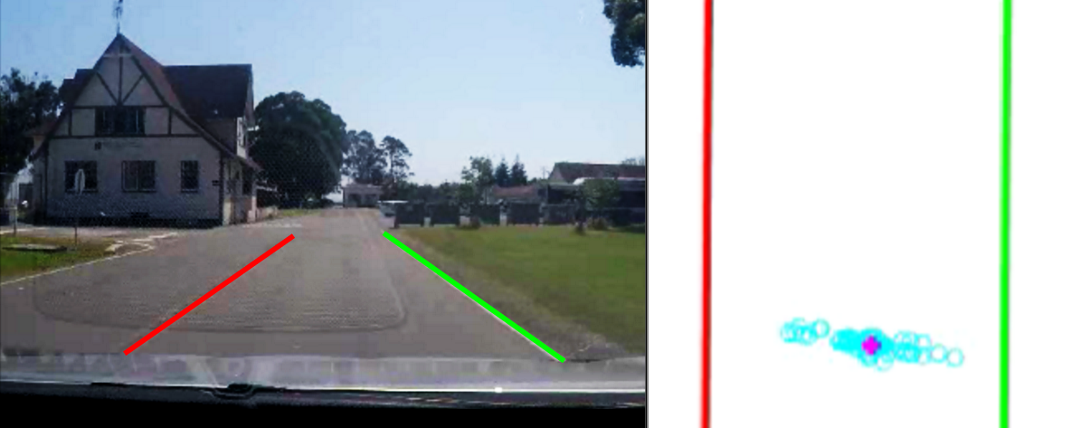
Our approach incorporates several sensors, including GPS, a camera mounted on the front of the car to recognize the lanes of the road, and a laser rangefinder sensor (LIDAR) that measures the distance to all of the objects around the vehicle. Our probabilistic model takes into account the uncertainty of the sensor measurements to pick from among many different possible locations of the vehicle. By running this system on a computer onboard the car, we can determine the location of the vehicle accurately in real time as we drive.
Accomplishments
Our capstone team has designed and tested a deployable software package that produces an accurate location estimate of the vehicle in real time. Its output can be directly used to perform other critical functions of autonomous driving, such as obstacle detection, path planning, and actual control of the vehicle. By developing this robust localization system, we are one step closer to bringing fully autonomous vehicles onto our roads.

← View all Capstone Projects


